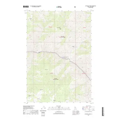
2020 Map of Cottontail Point
USGS Topo · Published 2020About this map
The Salmon Wild and Scenic River carves a deep path through this portion of Idaho County, serving as a natural boundary between the Nez Perce National Forest to the north and the Payette National Forest to the south. This rugged canyon landscape is defined by dramatic elevation changes, from the riverside flats of Bull Creek Bar to high-elevation landmarks such as Sugarloaf Butte and Tomato Point.
Find a feature on this map
38 named features on this map. Tap any name to fly to it.
Don’t see what you’re looking for? This feature index may not catch every label — zoom into the map to look around manually.
Map Details
Editions of this 2020 Cottontail Point Map
This is the sole edition of this map. No revisions or reprints were ever made.
Other maps of this area

1931 · Buffalo Hump
USGS Topo · 1:125,000

1934 · Buffalo Hump
USGS Topo · 1:125,000

1956 · Burgdorf
USGS Topo · 1:62,500

1956 · Warren
USGS Topo · 1:62,500

1956 · Elk City
USGS Topo · 1:250,000

1960 · Elk City
USGS Topo · 1:250,000

1963 · Marble Butte
USGS Topo · 1:24,000

1977 · Silver Spur Ridge
USGS Topo · 1:24,000

1979 · Buffalo Hump
USGS Topo · 1:24,000

1981 · Warren
USGS Topo · 1:100,000