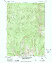
1963 Map of Sawyer Ridge
USGS Topo · Published 1987About this map
Bentz Cow Camp sits tucked away in the southern reaches of this high-altitude landscape, representing the small-scale human footprint within the larger Nez Perce National Forest. The 1963 survey, with revisions from 1987, reveals a complex drainage system defined by Gospel Creek, Hungry Creek, and Johns Creek, which carve deep canyons through the high country. High peaks such as Marble Point, Pyramid Peak, and the prominent Sawyer Ridge dominate the center of the sheet, providing the elevation for the historic Sawyer Ridge Lookout.
Find a feature on this map
37 named features on this map. Tap any name to fly to it.
Don’t see what you’re looking for? This feature index may not catch every label — zoom into the map to look around manually.
Map Details
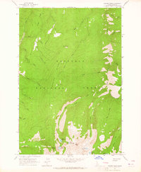
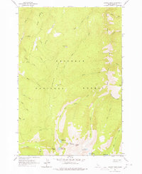
Editions of this 1963 Sawyer Ridge Map
3 editions found
Other maps of this area

1931 · Buffalo Hump
USGS Topo · 1:125,000

1934 · Buffalo Hump
USGS Topo · 1:125,000

1955 · Grangeville
USGS Topo · 1:250,000

1956 · Elk City
USGS Topo · 1:250,000

1959 · Grangeville
USGS Topo · 1:250,000

1960 · Elk City
USGS Topo · 1:250,000

1963 · Sourdough Peak
USGS Topo · 1:24,000

1963 · Goodwin Meadows
USGS Topo · 1:24,000

1963 · Hanover Mtn.
USGS Topo · 1:24,000

1963 · Huddleson Bluff
USGS Topo · 1:24,000