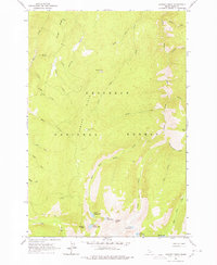
1963 Map of Sawyer Ridge
USGS Topo · Published 1978About this map
Nez Perce National Forest encompasses this high-elevation landscape, where the peaks of Sawyer Ridge and Pyramid Peak overlook a series of alpine waters. The map detail reflects the mid-century wilderness character of Idaho County, documented through 1962 aerial photography and 1963 field checks. Human presence is sparse, limited to the Sawyer Ridge Lookout and seasonal locations like Bentz Cow Camp. A complex drainage network defines the area, with Gospel Creek and its western fork feeding into the Lower Gospel Lake and Upper Gospel Lake systems. This survey captures a moment before modern accessibility, showing only a solitary Jeep Trail cutting across the south-western slopes near Slate Creek, providing a rare record of the original trail routes and high-country landmarks like Gospel Hill and Dome Hill.
Find a feature on this map
37 named features on this map. Tap any name to fly to it.
Don’t see what you’re looking for? This feature index may not catch every label — zoom into the map to look around manually.
Map Details
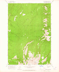
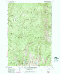
Editions of this 1963 Sawyer Ridge Map
3 editions found
Other maps of this area

1931 · Buffalo Hump
USGS Topo · 1:125,000

1934 · Buffalo Hump
USGS Topo · 1:125,000

1955 · Grangeville
USGS Topo · 1:250,000

1956 · Elk City
USGS Topo · 1:250,000

1959 · Grangeville
USGS Topo · 1:250,000

1960 · Elk City
USGS Topo · 1:250,000

1963 · Sourdough Peak
USGS Topo · 1:24,000

1963 · Goodwin Meadows
USGS Topo · 1:24,000

1963 · Hanover Mtn.
USGS Topo · 1:24,000

1963 · Huddleson Bluff
USGS Topo · 1:24,000