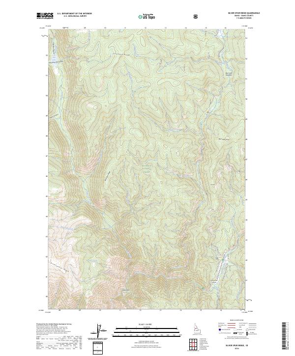
2024 Map of Silver Spur Ridge
USGS Topo · Published 2024About this map
Nez Perce National Forest and the Gospel-Hump Wilderness dominate this high-elevation terrain in central Idaho. The landscape is defined by massive geographic features such as Silver Spur Ridge, Columbia Ridge, and Drumlummon Ridge, which separate a complex drainage network including Lake Creek and the headwaters of Orogrande Creek. The remote nature of the region is evident in the sparse infrastructure, centered largely on the Dixie USFS Airport near the southern boundary. Natural clearings like Big Creek Meadows provide rare level ground amidst a series of deep canyons, including Jumbo Canyon and Whistling Pig Canyon. The prevalence of named peaks and ridges like Cape Horn and Nut Hill illustrates the area's importance for forest management and backcountry recreation, while access remains limited to forest routes like Natl Forest Develop Road 222 Rd.
Find a feature on this map
37 named features on this map. Tap any name to fly to it.
Don’t see what you’re looking for? This feature index may not catch every label — zoom into the map to look around manually.
Map Details
Editions of this 2024 Silver Spur Ridge Map
This is the sole edition of this map. No revisions or reprints were ever made.
Other maps of this area

1931 · Buffalo Hump
USGS Topo · 1:125,000

1934 · Buffalo Hump
USGS Topo · 1:125,000

1956 · Warren
USGS Topo · 1:62,500

1956 · Elk City
USGS Topo · 1:250,000

1960 · Elk City
USGS Topo · 1:250,000

1977 · Silver Spur Ridge
USGS Topo · 1:24,000

1978 · Moose Butte
USGS Topo · 1:24,000

1979 · Buffalo Hump
USGS Topo · 1:24,000
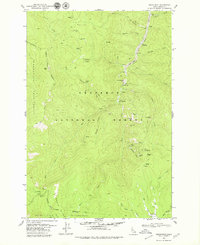
1979 · Orogrande
USGS Topo · 1:24,000

1979 · Dixie
USGS Topo · 1:24,000