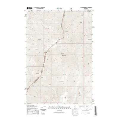
2013 Map of Old Timer Mountain
USGS Topo · Published 2013About this map
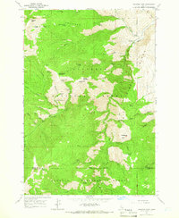
Old Timer Mtn and the surrounding high-elevation peaks of the Seven Devils Mountains dominate this 2013 survey of the Idaho-Oregon borderlands. The landscape is split by the deep canyon of the Snake River, which forms the boundary between the Wallowa National Forest in Oregon and the Nez Perce National Forest in Idaho. This remote river corridor is marked by numerous white-water features, including Eagle Nest Rapids, Rush Creek Rapids, and Waterspout Rapids, alongside riverside bars such as Johnson Bar and Pony Bar.
Find a feature on this map
85 named features on this map. Tap any name to fly to it.
Don’t see what you’re looking for? This feature index may not catch every label — zoom into the map to look around manually.
Map Details
Editions of this 2013 Old Timer Mountain Map
This is the sole edition of this map. No revisions or reprints were ever made.
Other maps of this area
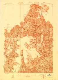
1922 · He Devil
USGS Topo · 1:48,000
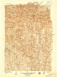
1938 · Riggins
USGS Topo · 1:96,000
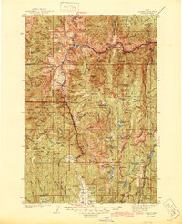
1945 · Riggins
USGS Topo · 1:125,000
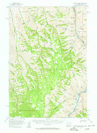
1954 · Kernan Point
USGS Topo · 1:62,500

1955 · Grangeville
USGS Topo · 1:250,000
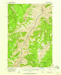
1957 · He Devil
USGS Topo · 1:62,500

1959 · Grangeville
USGS Topo · 1:250,000
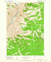
1963 · Kirkwood Creek
USGS Topo · 1:24,000
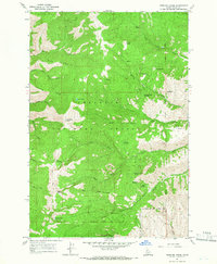
1964 · Kessler Creek
USGS Topo · 1:24,000
1964 · Heavens Gate
USGS Topo · 1:24,000