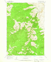
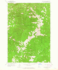
1964 Map of Heavens Gate
USGS Topo · Published 1966About this map
Heavens Gate serves as a prominent overlook in this high-altitude landscape along the border of Idaho and Adams Counties. The rugged terrain is defined by the steep descent toward the Rapid River, where the Rapid River Fish Hatchery and an adjacent Picnic Area mark a center of activity in the canyon. This mid-1960s survey documents a network of high-country outposts and family-named landmarks including Silvers Station, De Veny Place, and Wurtz Cabin. The map illustrates a transitional zone where the Nez Perce National Forest meets the Payette National Forest, connected by a Jeep Trail and pack routes such as the one through Game Warden Saddle. Notable peaks like Cannon Ball Mountain and Bryan Mountain rise above deep drainages like Thorn Gulch and Ranyhan Gulch, highlighting the area's role as a critical watershed for the river system below.
Find a feature on this map
91 named features on this map. Tap any name to fly to it.
Don’t see what you’re looking for? This feature index may not catch every label — zoom into the map to look around manually.
Map Details
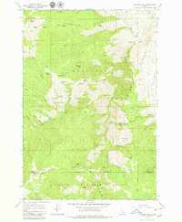
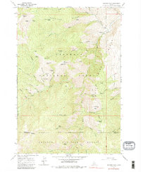
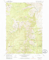
Editions of this 1964 Heavens Gate Map
4 editions found
Other maps of this area

1920 · Seven Devils Mining District
USGS Topo · 1:48,000

1922 · He Devil
USGS Topo · 1:48,000

1938 · Riggins
USGS Topo · 1:96,000

1945 · Riggins
USGS Topo · 1:125,000

1955 · Grangeville
USGS Topo · 1:250,000

1957 · He Devil
USGS Topo · 1:62,500

1957 · Cuprum
USGS Topo · 1:62,500

1959 · Grangeville
USGS Topo · 1:250,000

1963 · Indian Mountain
USGS Topo · 1:24,000
1963 · Pollock Mountain
USGS Topo · 1:24,000