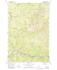
1966 Map of Syringa
USGS Topo · Published 1984About this map
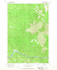
The Middle Fork Clearwater River carves a deep path through the central Idaho wilderness, serving as the primary corridor for transportation and recreation in this 1960s survey. Along the riverbank, the settlement of Syringa and the nearby Three Devils Campground anchor the bottom of the canyon, while higher elevations are defined by the steep ridges of the Clearwater National Forest and Nez Perce National Forest. The map documents a landscape of high-altitude navigation and resource management, evidenced by the Lookout Tower on Walde Mtn and the Smith Creek Work Center.
Find a feature on this map
41 named features on this map. Tap any name to fly to it.
Don’t see what you’re looking for? This feature index may not catch every label — zoom into the map to look around manually.
Map Details
Editions of this 1966 Syringa Map
2 editions found
Other maps of this area

1924 · Weippe
USGS Topo · 1:125,000

1956 · Hamilton
USGS Topo · 1:250,000

1959 · Hamilton
USGS Topo · 1:250,000

1960 · Hamilton
USGS Topo · 1:250,000

1964 · Hamilton
USGS Topo · 1:250,000
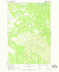
1966 · Big Cedar
USGS Topo · 1:24,000
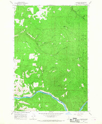
1966 · Glenwood
USGS Topo · 1:24,000

1966 · Lowell
USGS Topo · 1:24,000
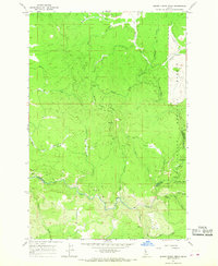
1966 · Brown Creek Ridge
USGS Topo · 1:24,000
1966 · Syringa
USGS Topo · 1:24,000