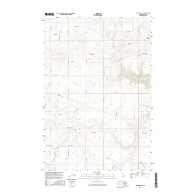
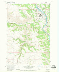
2017 Map of Nezperce SW
USGS Topo · Published 2017About this map
Red Rock Butte and Twin Buttes anchor this high prairie landscape in north-central Idaho, where the plateau is deeply incised by the drainage systems of Cottonwood Cr and the S Fork Cottonwood Cr. The land is organized by a rigorous grid of section lines and rural thoroughfares such as Old Hwy 7 and Reservation Line Rd, reflecting the agricultural heritage of the Nez Perce Reservation area.
Find a feature on this map
43 named features on this map. Tap any name to fly to it.
Don’t see what you’re looking for? This feature index may not catch every label — zoom into the map to look around manually.
Map Details
Editions of this 2017 Nezperce SW Map
This is the sole edition of this map. No revisions or reprints were ever made.
Other maps of this area

1924 · Kamiah
USGS Topo · 1:125,000

1955 · Pullman
USGS Topo · 1:250,000

1955 · Grangeville
USGS Topo · 1:250,000

1958 · Pullman
USGS Topo · 1:250,000

1959 · Grangeville
USGS Topo · 1:250,000

1963 · Grangeville West
USGS Topo · 1:24,000
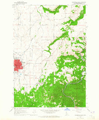
1963 · Grangeville East
USGS Topo · 1:24,000
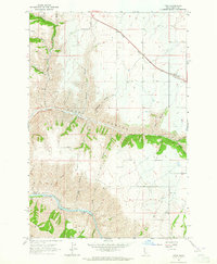
1963 · Fenn
USGS Topo · 1:24,000
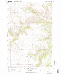
1967 · Nezperce SE
USGS Topo · 1:24,000
1967 · Kamiah
USGS Topo · 1:24,000