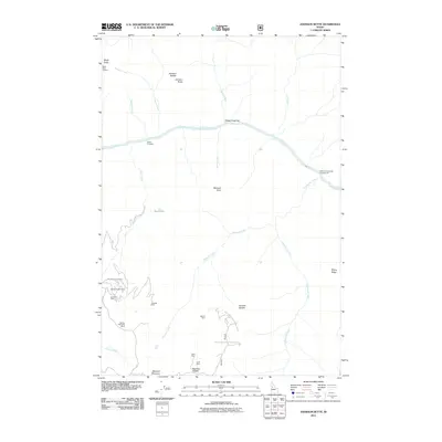
2011 Map of Johnson Butte
USGS Topo · Published 2011About this map
Mining operations dominate the high ridges of Idaho County in this 2011 survey, particularly around the southern peaks. Clusters of extraction sites like the Sherman-Howe Mine, Golden Anchor Mine, and Kimberly Mine suggest a landscape deeply shaped by the search for mineral wealth. The topography is defined by significant elevation changes, stretching from the Salmon River canyon floor at Indian Crossing up to the high prominence of Marshall Mountain and Johnson Butte.
Find a feature on this map
34 named features on this map. Tap any name to fly to it.
Don’t see what you’re looking for? This feature index may not catch every label — zoom into the map to look around manually.
Map Details
Editions of this 2011 Johnson Butte Map
This is the sole edition of this map. No revisions or reprints were ever made.
Other maps of this area

1931 · Buffalo Hump
USGS Topo · 1:125,000

1934 · Buffalo Hump
USGS Topo · 1:125,000

1956 · Burgdorf
USGS Topo · 1:62,500

1956 · Warren
USGS Topo · 1:62,500

1956 · Elk City
USGS Topo · 1:250,000

1960 · Elk City
USGS Topo · 1:250,000

1963 · Hanover Mtn.
USGS Topo · 1:24,000

1963 · Marble Butte
USGS Topo · 1:24,000

1979 · Buffalo Hump
USGS Topo · 1:24,000

1981 · Warren
USGS Topo · 1:100,000