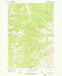
1964 Map of Kessler Creek
USGS Topo · Published 1976About this map
Nez Perce National Forest dominates this mid-1960s topographic survey, revealing a landscape defined by dramatic ridgelines and the headwaters of numerous mountain creeks. The high-altitude terrain is marked by significant features like Crater Lake and Papoose Lake, while the subsurface is represented by Papoose Cavern along Papoose Ridge. The map identifies a solitary Prospect near Grave Creek, hinting at early mineral exploration in this secluded part of Idaho County. Resource management and early access are evident through the network of a trail and jeep trail systems that navigate through The Narrows and across high passes such as Fire Camp Saddle and Papoose Saddle. Named springs, including Tony Seyfreid Spring and Hite Spring, provide critical water points across the complex drainage basins of Race Creek and Lightning Creek.
Find a feature on this map
39 named features on this map. Tap any name to fly to it.
Don’t see what you’re looking for? This feature index may not catch every label — zoom into the map to look around manually.
Map Details
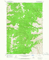
Editions of this 1964 Kessler Creek Map
2 editions found
Other maps of this area

1922 · He Devil
USGS Topo · 1:48,000

1938 · Riggins
USGS Topo · 1:96,000

1945 · Riggins
USGS Topo · 1:125,000

1954 · Kernan Point
USGS Topo · 1:62,500

1955 · Grangeville
USGS Topo · 1:250,000

1957 · He Devil
USGS Topo · 1:62,500

1959 · Grangeville
USGS Topo · 1:250,000

1963 · Lucile
USGS Topo · 1:24,000

1963 · Kirkwood Creek
USGS Topo · 1:24,000

1964 · Riggins
USGS Topo · 1:24,000