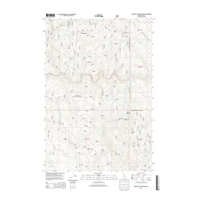
2013 Map of Center Star Mountain
USGS Topo · Published 2013About this map
The S Fork Clearwater River carves a deep path through this section of the Nez Perce National Forest, a landscape defined by its mining heritage and high-elevation terrain. Gold-seeking history is evident in the presence of the Elk City Mining Company and the structural remains of early transportation routes like the Old Elk City-Wagon Rd. These historic tracks, alongside the Old Golden Rd, highlight the 20th-century reliance on heavy freighting to reach remote mountain claims.
Find a feature on this map
41 named features on this map. Tap any name to fly to it.
Don’t see what you’re looking for? This feature index may not catch every label — zoom into the map to look around manually.
Map Details
Editions of this 2013 Center Star Mountain Map
This is the sole edition of this map. No revisions or reprints were ever made.
Other maps of this area

1931 · Buffalo Hump
USGS Topo · 1:125,000

1934 · Buffalo Hump
USGS Topo · 1:125,000

1956 · Elk City
USGS Topo · 1:250,000

1960 · Elk City
USGS Topo · 1:250,000

1962 · Golden
USGS Topo · 1:24,000

1962 · Center Star Mtn
USGS Topo · 1:24,000

1962 · Iron Mtn
USGS Topo · 1:24,000

1962 · Pilot Knob
USGS Topo · 1:24,000

1966 · Elk City
USGS Topo · 1:24,000

1966 · Lick Point
USGS Topo · 1:24,000