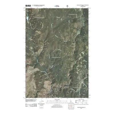
2011 Map of Silver Spur Ridge
USGS Topo · Published 2011About this map
Big Creek and its many tributaries define the drainage patterns of this high-elevation Idaho County landscape. At the start of the 21st century, the area remains primarily defined by its water systems and forest access routes, most notably the Orogrande-Dixie Rd which snakes through the eastern portion of the quadrangle. In the northwest corner, Calendar Canyon sits above Fish Lake, while the central terrain is carved by McGuire Creek and Silver Spur Creek. The map provides a detailed view of the complex hydrology feeding the Salmon River watershed, including Fawn Lake Creek and the curiously named Little Blowout Creek. This era of mapping shows the integration of National Forest development roads like Nat For Dev Rd 2221 into the existing topographical framework, marking the points where human transit meets the wilderness of Crooked Creek.
Find a feature on this map
20 named features on this map. Tap any name to fly to it.
Don’t see what you’re looking for? This feature index may not catch every label — zoom into the map to look around manually.
Map Details
Editions of this 2011 Silver Spur Ridge Map
This is the sole edition of this map. No revisions or reprints were ever made.
Other maps of this area

1931 · Buffalo Hump
USGS Topo · 1:125,000

1934 · Buffalo Hump
USGS Topo · 1:125,000

1956 · Warren
USGS Topo · 1:62,500

1956 · Elk City
USGS Topo · 1:250,000

1960 · Elk City
USGS Topo · 1:250,000

1977 · Silver Spur Ridge
USGS Topo · 1:24,000

1978 · Moose Butte
USGS Topo · 1:24,000

1979 · Buffalo Hump
USGS Topo · 1:24,000
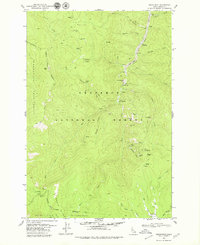
1979 · Orogrande
USGS Topo · 1:24,000

1979 · Dixie
USGS Topo · 1:24,000