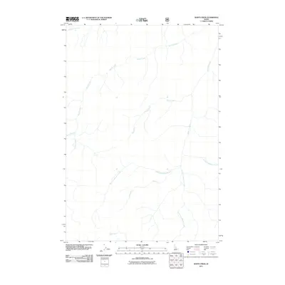
2011 Map of Wapiti Creek
USGS Topo · Published 2011About this map
Wapiti Creek flows through this remote section of Idaho County, defining a landscape dominated by a complex network of high-elevation drainages. This 2011 survey, produced by the U.S. Geological Survey using data from the National Hydrography Dataset and National Elevation Dataset, illustrates the intricate headwaters that feed the region's larger river systems. The map is centered on the confluence and convergence of several named streams, most notably the Whimstick Creek system. The detailed mapping of the South Fork Whimstick Creek, West Fork Whimstick Creek, and East Fork Whimstick Creek provides a clear view of the natural corridors through this mountainous terrain. Other significant water bodies including McCalla Creek, Moose Jaw Creek, and Silver Creek trace the steep topography and serve as primary reference points in an area devoid of modern road infrastructure or permanent settlements.
Find a feature on this map
10 named features on this map. Tap any name to fly to it.
Don’t see what you’re looking for? This feature index may not catch every label — zoom into the map to look around manually.
Map Details
Editions of this 2011 Wapiti Creek Map
This is the sole edition of this map. No revisions or reprints were ever made.
Other maps of this area

1956 · Elk City
USGS Topo · 1:250,000

1960 · Elk City
USGS Topo · 1:250,000

1962 · Vinegar Hill
USGS Topo · 1:24,000

1973 · Acorn Butte
USGS Topo · 1:24,000

1973 · Bismark Mtn
USGS Topo · 1:24,000

1974 · Meadow Of Doubt
USGS Topo · 1:24,000

1978 · Arctic Point
USGS Topo · 1:24,000

1978 · Wapiti Creek
USGS Topo · 1:24,000
1978 · Lodgepole Creek
USGS Topo · 1:24,000

1978 · Devils Teeth Rapids
USGS Topo · 1:24,000