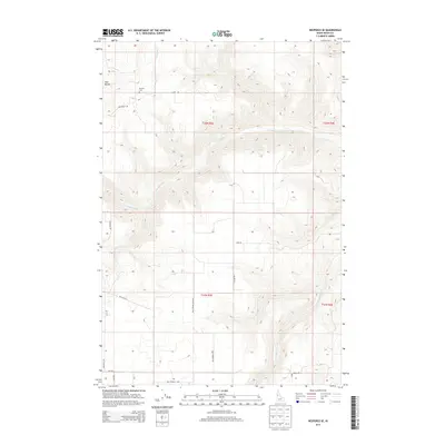
2013 Map of Nezperce SE
USGS Topo · Published 2013About this map
Mt Zion Cem and the prominent Twin Buttes anchor this high-plateau landscape in Idaho County. The map reveals a deeply etched drainage system defined by Cottonwood Cr, Sevenmile Cr, and Threemile Cr, which cut through the agricultural tablelands of the Nezperce region. This 2013 survey illustrates the enduring rectilinear grid of the Public Land Survey System, with rural access provided by family-named routes such as Lamb Rd and Milt Springs Rd. The terrain is characterized by steep canyon descents from the flatter farming sections, particularly evident near Red Rock Cr. This document is a primary resource for tracing land ownership patterns and rural infrastructure in a region where the geography still dictates the flow of commerce and movement along roads like Union Rd.
Find a feature on this map
22 named features on this map. Tap any name to fly to it.
Don’t see what you’re looking for? This feature index may not catch every label — zoom into the map to look around manually.
Map Details
Editions of this 2013 Nezperce SE Map
This is the sole edition of this map. No revisions or reprints were ever made.
Other maps of this area

1924 · Kamiah
USGS Topo · 1:125,000

1924 · Weippe
USGS Topo · 1:125,000

1931 · Buffalo Hump
USGS Topo · 1:125,000

1934 · Buffalo Hump
USGS Topo · 1:125,000

1955 · Pullman
USGS Topo · 1:250,000

1955 · Grangeville
USGS Topo · 1:250,000

1956 · Elk City
USGS Topo · 1:250,000

1956 · Hamilton
USGS Topo · 1:250,000

1958 · Pullman
USGS Topo · 1:250,000

1959 · Grangeville
USGS Topo · 1:250,000