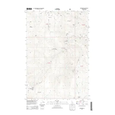
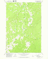
2013 Map of Orogrande
USGS Topo · Published 2013About this map
Orogrande and Old Orogrande anchor this mountainous portion of the Nez Perce National Forest in central Idaho. The landscape is defined by the convergence of the W Fork Crooked River and E Fork Crooked River, which flow northward through deep drainages like Rainbow Gulch and Baker Gulch. High-elevation points such as Nipple Mtn, Columbia Ridge, and Williams Creek Ridge surround the mining-era settlements, which are linked by the winding Orogrande Dixie Rd. The area's focus on backcountry access and seasonal resource management is evident through the presence of the Orogrande Airport and several remote sites including Fivemite Campground and Orogrande Summit Campground. Near the southern boundary, Big Creek Meadows provides a distinct break in the steep terrain before the land rises again toward Orogrande Summit.
Find a feature on this map
39 named features on this map. Tap any name to fly to it.
Don’t see what you’re looking for? This feature index may not catch every label — zoom into the map to look around manually.
Map Details
Editions of this 2013 Orogrande Map
This is the sole edition of this map. No revisions or reprints were ever made.
Other maps of this area
1931 · Buffalo Hump
USGS Topo · 1:125,000
1934 · Buffalo Hump
USGS Topo · 1:125,000

1956 · Elk City
USGS Topo · 1:250,000

1960 · Elk City
USGS Topo · 1:250,000
1962 · Golden
USGS Topo · 1:24,000
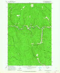
1962 · Center Star Mtn
USGS Topo · 1:24,000
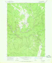
1966 · Elk City
USGS Topo · 1:24,000
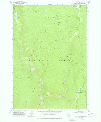
1977 · Silver Spur Ridge
USGS Topo · 1:24,000
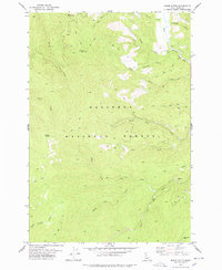
1978 · Moose Butte
USGS Topo · 1:24,000
1979 · Buffalo Hump
USGS Topo · 1:24,000