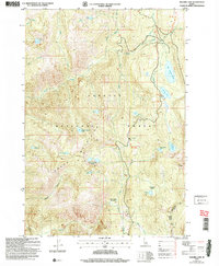
2004 Map of Hazard Lake
USGS Topo · Published 2007About this map
Big Hazard Lake and its smaller neighbors anchor this high-elevation landscape within the Payette National Forest. This 2004 revision, based on surveys dating back to 1959, captures a wilderness area defined by the Grass Mountains and a complex network of alpine water bodies. The geography is dominated by steep drainages like Bascom Canyon and the headwaters of Hazard Creek, which flows through glacial basins. Significant landmarks include the Hard Creek Meadow and the secluded Grass Mountain Lakes. The map reveals a remote terrain primarily accessible via trails and the New Meadows-McCall Rd in the southeast corner. This specific edition is notable for documenting unsurveyed protracted blocks and the precise locations of small, family-named features such as Lloyds Lake and Buck Lake in a region characterized by its high-altitude meadows and ridges.
Find a feature on this map
30 named features on this map. Tap any name to fly to it.
Don’t see what you’re looking for? This feature index may not catch every label — zoom into the map to look around manually.
Map Details
Editions of this 2004 Hazard Lake Map
This is the sole edition of this map. No revisions or reprints were ever made.
Other maps of this area

1938 · Riggins
USGS Topo · 1:96,000

1945 · Riggins
USGS Topo · 1:125,000

1955 · Grangeville
USGS Topo · 1:250,000

1959 · Grangeville
USGS Topo · 1:250,000

1963 · Bally Mountain
USGS Topo · 1:24,000

1963 · Indian Mountain
USGS Topo · 1:24,000

1963 · Granite Lake
USGS Topo · 1:24,000

1963 · Black Tip
USGS Topo · 1:24,000

1963 · Hershey Point
USGS Topo · 1:24,000
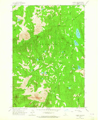
1963 · Hazard Lake
USGS Topo · 1:24,000