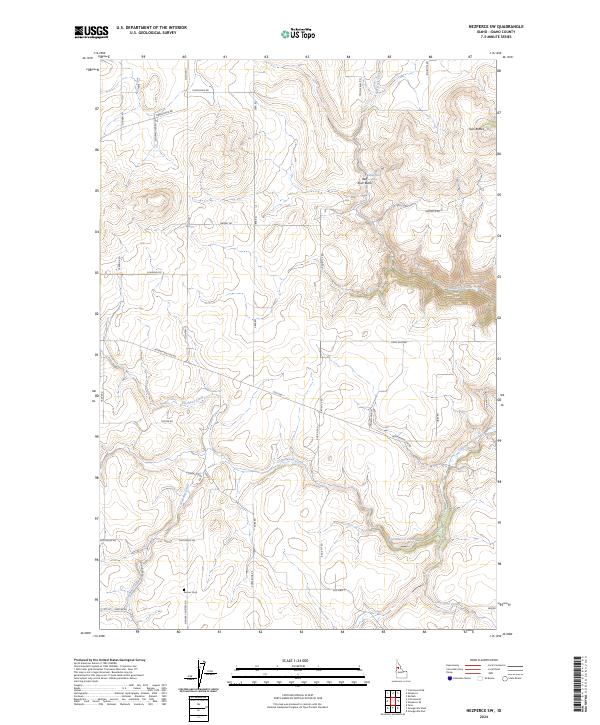
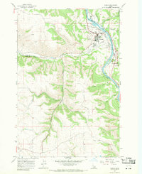
2024 Map of Nezperce SW
USGS Topo · Published 2024About this map
Denver Cem stands in the southern portion of this Idaho landscape, reached by Denver Cemetery Rd and Denver Rd. This territory is defined by a dense network of drainage systems, including Cottonwood Creek and Shebang Creek, which carve through the terrain between prominent landmarks like Twin Buttes and Rock Butte. The map reflects a rural agricultural and transit-oriented development pattern, anchored by the route of Old Hwy 7 and various section-line roads such as Crea Rd and Kube Rd. The presence of Reservation Line Rd suggests historical boundary demarcations that shaped the local land use and road grid. Small geographic details, like Red Spring near Red Rock Creek, offer specific points of interest for those tracing family land holdings or early water sources in Idaho County.
Find a feature on this map
42 named features on this map. Tap any name to fly to it.
Don’t see what you’re looking for? This feature index may not catch every label — zoom into the map to look around manually.
Map Details
Editions of this 2024 Nezperce SW Map
This is the sole edition of this map. No revisions or reprints were ever made.
Other maps of this area

1924 · Kamiah
USGS Topo · 1:125,000

1955 · Pullman
USGS Topo · 1:250,000

1955 · Grangeville
USGS Topo · 1:250,000

1958 · Pullman
USGS Topo · 1:250,000

1959 · Grangeville
USGS Topo · 1:250,000

1963 · Grangeville West
USGS Topo · 1:24,000
1963 · Grangeville East
USGS Topo · 1:24,000
1963 · Fenn
USGS Topo · 1:24,000
1967 · Nezperce SE
USGS Topo · 1:24,000
1967 · Kamiah
USGS Topo · 1:24,000