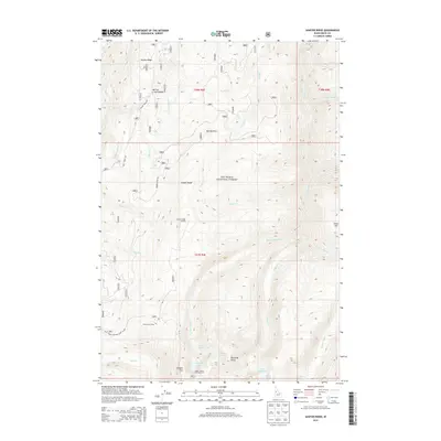
2013 Map of Sawyer Ridge
USGS Topo · Published 2013About this map
Nez Perce National Forest dominates this high-elevation terrain in Idaho County, where a network of ridge-top lookouts and remote camps once anchored local forest management. The prominent Sawyer Ridge runs through the central portion of the sheet, featuring the Sawyer Ridge Lookout and various access points like Marble Point Rd. To the south, the landscape transitions into a series of alpine water bodies, including Gospel Lakes, Knob Lakes, and Moores Lake, all situated around high points like Gospel Hill and Pyramid Point. A single named settlement, Bentz Cow Camp, appears near Slate Cr in the southwest, hinting at the area's grazing history. Dozens of drainages such as American Cr and Gospel Cr carve through the steep topography, while the Upper Gospel Lake Viewpoint provides a specific mapped location for observing the high-country basin.
Find a feature on this map
43 named features on this map. Tap any name to fly to it.
Don’t see what you’re looking for? This feature index may not catch every label — zoom into the map to look around manually.
Map Details
Editions of this 2013 Sawyer Ridge Map
This is the sole edition of this map. No revisions or reprints were ever made.
Other maps of this area

1931 · Buffalo Hump
USGS Topo · 1:125,000

1934 · Buffalo Hump
USGS Topo · 1:125,000

1955 · Grangeville
USGS Topo · 1:250,000

1956 · Elk City
USGS Topo · 1:250,000

1959 · Grangeville
USGS Topo · 1:250,000

1960 · Elk City
USGS Topo · 1:250,000

1963 · Sourdough Peak
USGS Topo · 1:24,000

1963 · Goodwin Meadows
USGS Topo · 1:24,000

1963 · Hanover Mtn.
USGS Topo · 1:24,000

1963 · Huddleson Bluff
USGS Topo · 1:24,000