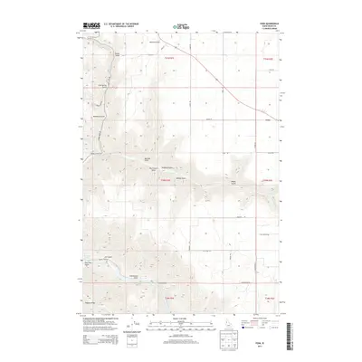
2013 Map of Fenn
USGS Topo · Published 2013About this map
Salmon River carving through the southwest corner of this Idaho County landscape defines the dramatic elevation change between the Camas Prairie and the deep river canyon. The settlement of Fenn serves as a northern anchor point along the highway, while the surrounding area is a complex network of drainage systems including Rock Cr and Johns Cr. Numerous named gulches like Hanley Gulch, Ray Church Gulch, and Vonberge Gulch carry local family and landmark names, reflecting the historical land use and early ranching or homesteading patterns in the region.
Find a feature on this map
78 named features on this map. Tap any name to fly to it.
Don’t see what you’re looking for? This feature index may not catch every label — zoom into the map to look around manually.
Map Details
Editions of this 2013 Fenn Map
This is the sole edition of this map. No revisions or reprints were ever made.
Other maps of this area

1924 · Kamiah
USGS Topo · 1:125,000

1955 · Pullman
USGS Topo · 1:250,000

1955 · Grangeville
USGS Topo · 1:250,000

1958 · Pullman
USGS Topo · 1:250,000

1959 · Grangeville
USGS Topo · 1:250,000

1963 · Grangeville West
USGS Topo · 1:24,000

1963 · White Bird Hill
USGS Topo · 1:24,000

1963 · Moughmer Point
USGS Topo · 1:24,000

1963 · Joseph
USGS Topo · 1:24,000

1963 · White Bird
USGS Topo · 1:24,000