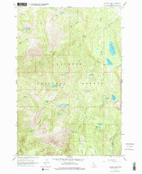
1963 Map of Hazard Lake
USGS Topo · Published 1978About this map
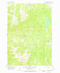
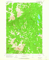
The Payette National Forest dominates this high-altitude landscape, centered on a series of alpine water bodies and the drainage of Hazard Creek. The survey identifies numerous small mountain lakes, including Coffee Cup Lake, Disappointment Lake, and the larger Big Hazard Lake, many of which feed the network of creeks that carve through the Grass Mountains. The presence of the Hard Creek Guard Station and a nearby Campground reflects the mid-century infrastructure for forest management and backcountry recreation.
Find a feature on this map
34 named features on this map. Tap any name to fly to it.
Don’t see what you’re looking for? This feature index may not catch every label — zoom into the map to look around manually.
Map Details
Editions of this 1963 Hazard Lake Map
3 editions found
Other maps of this area

1938 · Riggins
USGS Topo · 1:96,000

1945 · Riggins
USGS Topo · 1:125,000

1955 · Grangeville
USGS Topo · 1:250,000

1959 · Grangeville
USGS Topo · 1:250,000

1963 · Bally Mountain
USGS Topo · 1:24,000

1963 · Indian Mountain
USGS Topo · 1:24,000

1963 · Granite Lake
USGS Topo · 1:24,000

1963 · Black Tip
USGS Topo · 1:24,000

1963 · Hershey Point
USGS Topo · 1:24,000
1963 · Hazard Lake
USGS Topo · 1:24,000