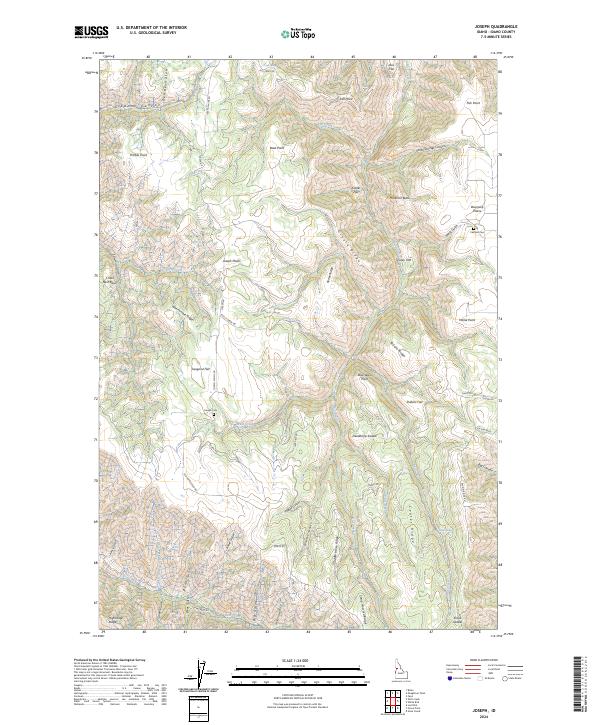
2024 Map of Joseph
USGS Topo · Published 2024About this map
Joseph Plains and Doumecq Plains define the high terrain of this Idaho County landscape, where the geography is etched by a complex network of canyons and gulches. The settlement history of these elevated plateaus is anchored by the Joseph Cem and the Canfield Cem, providing important touchstones for genealogical research in this rural region. Winding routes like Joseph Plains Rd and Rice Creek Rd navigate the steep drops toward Rice Creek and Fall Creek, illustrating the challenges of travel between the ridges and flats.
Find a feature on this map
68 named features on this map. Tap any name to fly to it.
Don’t see what you’re looking for? This feature index may not catch every label — zoom into the map to look around manually.
Map Details
Editions of this 2024 Joseph Map
This is the sole edition of this map. No revisions or reprints were ever made.
Other maps of this area

1954 · Kernan Point
USGS Topo · 1:62,500

1955 · Grangeville
USGS Topo · 1:250,000

1959 · Grangeville
USGS Topo · 1:250,000

1963 · Slate Creek
USGS Topo · 1:24,000

1963 · Boles
USGS Topo · 1:24,000

1963 · Moughmer Point
USGS Topo · 1:24,000

1963 · Joseph
USGS Topo · 1:24,000

1963 · Grave Point
USGS Topo · 1:24,000

1963 · White Bird
USGS Topo · 1:24,000

1963 · Wolf Creek
USGS Topo · 1:24,000