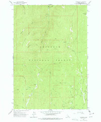
1963 Map of Florence
USGS Topo · Published 1977About this map
Florence sits at the southern edge of the Florence Basin, a high mountain meadow area within the Nez Perce National Forest. This 1960s survey documents the remnants of a once-booming mining district, where several prospects and the Waverly Mine are scattered across the headwaters of Baboon Gulch and Ozark Creek. The terrain is deeply incised by a dense network of watercourses, including Slate Creek and Big Boulder Creek, which drain the flanks of Telephone Ridge. A sense of the area's isolation and functional history is evident in the presence of the Bungalow Cow Camp and a small cemetery near the Florence townsite. These features, along with landmarks like Round Bottom Meadows and Usmm 1, illustrate a landscape transition from intensive mineral extraction to forestry and seasonal livestock grazing.
Find a feature on this map
39 named features on this map. Tap any name to fly to it.
Don’t see what you’re looking for? This feature index may not catch every label — zoom into the map to look around manually.
Map Details
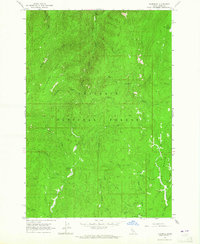
Editions of this 1963 Florence Map
2 editions found
Other maps of this area

1931 · Buffalo Hump
USGS Topo · 1:125,000

1934 · Buffalo Hump
USGS Topo · 1:125,000

1938 · Riggins
USGS Topo · 1:96,000

1945 · Riggins
USGS Topo · 1:125,000

1955 · Grangeville
USGS Topo · 1:250,000

1956 · Burgdorf
USGS Topo · 1:62,500

1956 · Elk City
USGS Topo · 1:250,000

1959 · Grangeville
USGS Topo · 1:250,000

1960 · Elk City
USGS Topo · 1:250,000

1963 · John Day Mtn
USGS Topo · 1:24,000