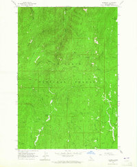
1963 Map of Florence
USGS Topo · Published 1965About this map
Florence Basin and the surrounding high country of the Nez Perce National Forest define this 1963 survey. The landscape is marked by the legacy of the region's mining history, notably around the settlement of Florence, where a Cem and the Waverly Mine are situated near Baboon Gulch. The complex drainage system includes Little Slate Creek and Little French Creek, which carve through the steep topography of Telephone Ridge. Evidence of land use is visible in the isolated Bungalow Cow Camp and several named prospects scattered across the drainage basins. The map illustrates a transitional period where old mining claims and trail networks remained the primary indicators of human presence in this high-elevation wilderness before more modern infrastructure arrived.
Find a feature on this map
35 named features on this map. Tap any name to fly to it.
Don’t see what you’re looking for? This feature index may not catch every label — zoom into the map to look around manually.
Map Details
Editions of this 1963 Florence Map
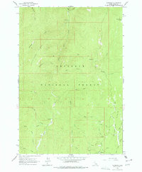
2 editions found
Other maps of this area

1931 · Buffalo Hump
USGS Topo · 1:125,000

1934 · Buffalo Hump
USGS Topo · 1:125,000

1938 · Riggins
USGS Topo · 1:96,000

1945 · Riggins
USGS Topo · 1:125,000

1955 · Grangeville
USGS Topo · 1:250,000

1956 · Burgdorf
USGS Topo · 1:62,500

1956 · Elk City
USGS Topo · 1:250,000

1959 · Grangeville
USGS Topo · 1:250,000

1960 · Elk City
USGS Topo · 1:250,000

1963 · John Day Mtn
USGS Topo · 1:24,000