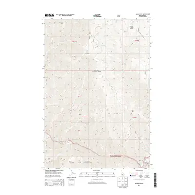
2013 Map of Mackay Bar
USGS Topo · Published 2013About this map
Mackay Bar and the adjacent Mackay Bar Airport anchor the southern reach of this landscape, situated at a dramatic bend in the river near Deadman Rapids. The terrain is defined by the intersection of the Nez Perce National Forest and Payette National Forest, where high ridges like Drumlummen Ridge and peaks such as Jersey Mtn overlook deep drainages. This 2013 survey illustrates a region where human activity is largely tied to established outposts and ranching operations.
Find a feature on this map
42 named features on this map. Tap any name to fly to it.
Don’t see what you’re looking for? This feature index may not catch every label — zoom into the map to look around manually.
Map Details
Editions of this 2013 Mackay Bar Map
This is the sole edition of this map. No revisions or reprints were ever made.
Other maps of this area

1931 · Buffalo Hump
USGS Topo · 1:125,000

1934 · Buffalo Hump
USGS Topo · 1:125,000

1956 · Warren
USGS Topo · 1:62,500

1956 · Elk City
USGS Topo · 1:250,000

1960 · Elk City
USGS Topo · 1:250,000

1977 · Silver Spur Ridge
USGS Topo · 1:24,000

1978 · Chicken Peak
USGS Topo · 1:24,000

1979 · Buffalo Hump
USGS Topo · 1:24,000

1979 · Dixie
USGS Topo · 1:24,000

1979 · Fivemile Bar
USGS Topo · 1:24,000