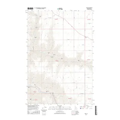
2017 Map of Fenn
USGS Topo · Published 2017About this map
Fenn serves as the primary junction for the Camas Prairie region on this 2017 study, where Market Rd and 95 converge. The landscape to the west and south drops sharply from the agricultural flats into a complex network of drainage systems including Hanley Gulch, Ray Church Gulch, and Vonberge Gulch. These steep features all descend toward the southwestern corner of the map, where the Salmon River carves through the terrain. The river section is marked by the Pine Bar Rapids, illustrating the significant elevation change between the prairie level and the river canyon floor. Local landmarks such as Murdicks Spring and Hogback Ridge provide specific reference points for researchers interested in the topographic layout of Idaho County. The map details a transition from the structured road grid of the plateau, featuring routes like Prairie Rd and Paradise Rd, to the more winding paths that follow natural contours.
Find a feature on this map
80 named features on this map. Tap any name to fly to it.
Don’t see what you’re looking for? This feature index may not catch every label — zoom into the map to look around manually.
Map Details
Editions of this 2017 Fenn Map
This is the sole edition of this map. No revisions or reprints were ever made.
Other maps of this area

1924 · Kamiah
USGS Topo · 1:125,000

1955 · Pullman
USGS Topo · 1:250,000

1955 · Grangeville
USGS Topo · 1:250,000

1958 · Pullman
USGS Topo · 1:250,000

1959 · Grangeville
USGS Topo · 1:250,000

1963 · Grangeville West
USGS Topo · 1:24,000

1963 · White Bird Hill
USGS Topo · 1:24,000

1963 · Moughmer Point
USGS Topo · 1:24,000

1963 · Joseph
USGS Topo · 1:24,000

1963 · White Bird
USGS Topo · 1:24,000