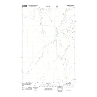
2011 Map of Orogrande
USGS Topo · Published 2011About this map
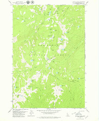
Crooked River and its complex network of tributaries dominate this Idaho County landscape, reflecting the hydrological patterns of the Nez Perce National Forest region. The map documents an intricate system of remote access routes, most notably the Buffalo Hump Rd and the Orogrande-Dixie Rd, which navigate the steep drainage basins. These roads provide historical context for the area's development, likely serving early mining and logging interests as they trace the contours of West Fork Crooked River and East Fork Crooked River. Significant water features like Umatilla Creek, Homestake Creek, and Quartz Creek suggest a legacy of mineral exploration common to this part of the state. The convergence of Big Creek and Hay Fork in the southern portion of the quadrangle illustrates the rugged geography that has shaped local transportation and land use for decades.
Find a feature on this map
22 named features on this map. Tap any name to fly to it.
Don’t see what you’re looking for? This feature index may not catch every label — zoom into the map to look around manually.
Map Details
Editions of this 2011 Orogrande Map
This is the sole edition of this map. No revisions or reprints were ever made.
Other maps of this area
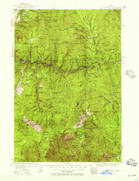
1931 · Buffalo Hump
USGS Topo · 1:125,000
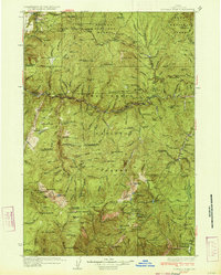
1934 · Buffalo Hump
USGS Topo · 1:125,000

1956 · Elk City
USGS Topo · 1:250,000

1960 · Elk City
USGS Topo · 1:250,000
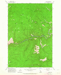
1962 · Golden
USGS Topo · 1:24,000
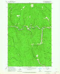
1962 · Center Star Mtn
USGS Topo · 1:24,000
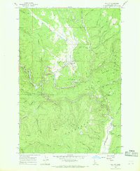
1966 · Elk City
USGS Topo · 1:24,000
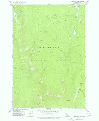
1977 · Silver Spur Ridge
USGS Topo · 1:24,000
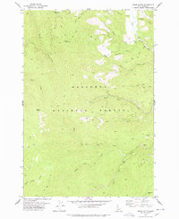
1978 · Moose Butte
USGS Topo · 1:24,000
1979 · Buffalo Hump
USGS Topo · 1:24,000