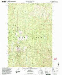
1994 Map of Boundary Peak
USGS Topo · Published 1997About this map
Historic Nez Perce (Ne-Me-Poo) Trail and the Lewis and Clark Trail both traverse this landscape within the Clearwater National Forest, following the high ridges between drainage basins. The map documents the mid-1990s management of the Pierce Lochsa Ranger District, centered on administrative and support sites such as the Mex Mountain Work Center and the strategic Canyon Junction.
Find a feature on this map
28 named features on this map. Tap any name to fly to it.
Don’t see what you’re looking for? This feature index may not catch every label — zoom into the map to look around manually.
Map Details
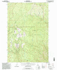
Editions of this 1994 Boundary Peak Map
2 editions found
Other maps of this area

1911 · Lolo
USGS Topo · 1:250,000

1913 · Lolo
USGS Topo · 1:250,000

1924 · Weippe
USGS Topo · 1:125,000

1956 · Hamilton
USGS Topo · 1:250,000

1959 · Hamilton
USGS Topo · 1:250,000

1960 · Hamilton
USGS Topo · 1:250,000

1964 · Hamilton
USGS Topo · 1:250,000
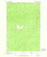
1966 · Hemlock Butte
USGS Topo · 1:24,000

1966 · Lowell
USGS Topo · 1:24,000
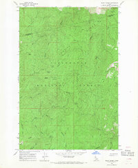
1966 · Snowy Summit
USGS Topo · 1:24,000