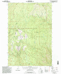
1994 Map of Boundary Peak
USGS Topo · Published 1997About this map
The Historic Lewis and Clark Trail traverses the northern reaches of this landscape, tracing the high ridges above Hungry Creek and Eldorado Creek. This 1994 revision of Clearwater National Forest land captures a remote corridor of the Idaho wilderness where forestry and seasonal grazing dominate the human presence. Landmarks such as Jacksons Cow Camp and the Mex Mountain Work Center underscore the area's role in resource management and high-country ranching. The terrain is defined by significant elevations, ranging from the prominent Boundary Peak in the northeast to the steep drainages of Frenchman Creek and Deadman Creek. Travelers through this region navigate the Pierce Lochsa Road, which provides access to remote sites like Camp Moosehorn and the intersection at Canyon Junction.
Find a feature on this map
29 named features on this map. Tap any name to fly to it.
Don’t see what you’re looking for? This feature index may not catch every label — zoom into the map to look around manually.
Map Details
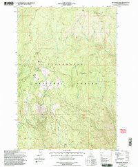
Editions of this 1994 Boundary Peak Map
2 editions found
Other maps of this area

1911 · Lolo
USGS Topo · 1:250,000

1913 · Lolo
USGS Topo · 1:250,000

1924 · Weippe
USGS Topo · 1:125,000

1956 · Hamilton
USGS Topo · 1:250,000

1959 · Hamilton
USGS Topo · 1:250,000

1960 · Hamilton
USGS Topo · 1:250,000

1964 · Hamilton
USGS Topo · 1:250,000
1966 · Hemlock Butte
USGS Topo · 1:24,000

1966 · Lowell
USGS Topo · 1:24,000
1966 · Snowy Summit
USGS Topo · 1:24,000