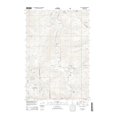
2013 Map of Slate Creek
USGS Topo · Published 2013About this map
The Salmon River carves a deep path through Idaho County, defining the rugged landscape of this 2013 survey. This reach of the river is characterized by numerous river bars and gulches, including Taylor Bar, Russell Bar, and the notable Robber Gulch. The settlement of Slate Creek serves as a local hub near the southern portion of the map, supported by the Slate Creek Airport and the nearby Twin Bridges Access Area. To the north, the terrain rises toward Banner Ridge and Haystack Mtn, while the Nez Perce National Forest covers much of the western and southern reaches.
Find a feature on this map
68 named features on this map. Tap any name to fly to it.
Don’t see what you’re looking for? This feature index may not catch every label — zoom into the map to look around manually.
Map Details
Editions of this 2013 Slate Creek Map
This is the sole edition of this map. No revisions or reprints were ever made.
Other maps of this area

1955 · Grangeville
USGS Topo · 1:250,000

1959 · Grangeville
USGS Topo · 1:250,000

1963 · John Day Mtn
USGS Topo · 1:24,000

1963 · Lucile
USGS Topo · 1:24,000

1963 · McKinzie Creek
USGS Topo · 1:24,000

1963 · White Bird Hill
USGS Topo · 1:24,000

1963 · Slate Creek
USGS Topo · 1:24,000

1963 · Kirkwood Creek
USGS Topo · 1:24,000

1963 · Joseph
USGS Topo · 1:24,000

1963 · Grave Point
USGS Topo · 1:24,000