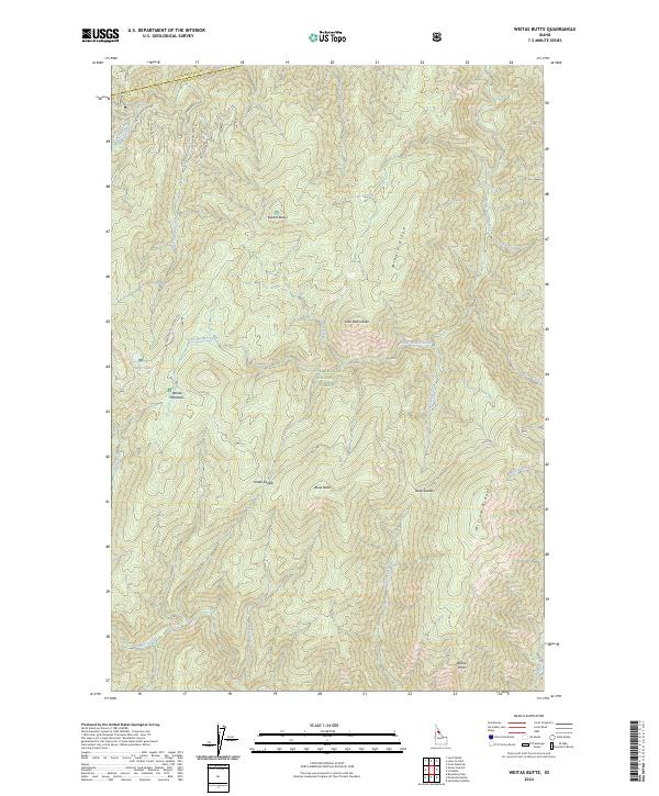
2024 Map of Weitas Butte
USGS Topo · Published 2024About this map
Clearwater National Forest spans the high divide between Clearwater Co and Idaho Co, defined by sharp ridges and significant watercourses. The landscape is anchored by Weitas Butte and Little Weitas Butte, which overlook a network of drainages including Little Weitas Creek and Stove Creek. The historic Lolo Trl traverses the southern portion of the quadrangle, crossing Green Saddle and passing near Bowl Butte. This route follows the high ground of Willow Ridge, reflecting a long history of travel through the mountains of north-central Idaho.
Find a feature on this map
47 named features on this map. Tap any name to fly to it.
Don’t see what you’re looking for? This feature index may not catch every label — zoom into the map to look around manually.
Map Details
Editions of this 2024 Weitas Butte Map
This is the sole edition of this map. No revisions or reprints were ever made.
Other maps of this area

1911 · Lolo
USGS Topo · 1:250,000

1913 · Lolo
USGS Topo · 1:250,000

1923 · Washington Creek
USGS Topo · 1:125,000

1924 · Weippe
USGS Topo · 1:125,000

1956 · Hamilton
USGS Topo · 1:250,000

1959 · Hamilton
USGS Topo · 1:250,000

1960 · Hamilton
USGS Topo · 1:250,000

1964 · Hamilton
USGS Topo · 1:250,000

1965 · Lean-to Point
USGS Topo · 1:24,000
1965 · Cook Mountain
USGS Topo · 1:24,000