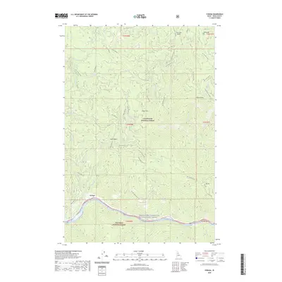
2020 Map of Syringa
USGS Topo · Published 2020About this map
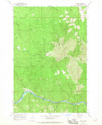
Syringa sits along the northern bank of the Middle Fork Clearwater Wild and Scenic River in central Idaho, marking a point of human settlement between the massive boundaries of the Clearwater National Forest and Nez Perce National Forest. The geography is defined by steep ridges and significant elevations such as Walde Mtn and Big Hill, while the river corridor below features hazards like Indian Rapids.
Find a feature on this map
60 named features on this map. Tap any name to fly to it.
Don’t see what you’re looking for? This feature index may not catch every label — zoom into the map to look around manually.
Map Details
Editions of this 2020 Syringa Map
This is the sole edition of this map. No revisions or reprints were ever made.
Other maps of this area

1924 · Weippe
USGS Topo · 1:125,000

1956 · Hamilton
USGS Topo · 1:250,000

1959 · Hamilton
USGS Topo · 1:250,000

1960 · Hamilton
USGS Topo · 1:250,000

1964 · Hamilton
USGS Topo · 1:250,000
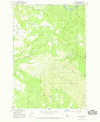
1966 · Big Cedar
USGS Topo · 1:24,000
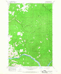
1966 · Glenwood
USGS Topo · 1:24,000

1966 · Lowell
USGS Topo · 1:24,000
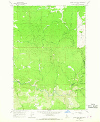
1966 · Brown Creek Ridge
USGS Topo · 1:24,000
1966 · Syringa
USGS Topo · 1:24,000