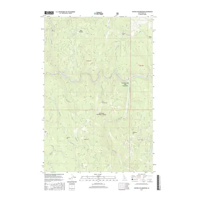
2017 Map of Center Star Mountain
USGS Topo · Published 2017About this map
The South Fork Clearwater River and Crooked River converge within the protected boundaries of the Nez Perce National Forest, creating a landscape defined by deep drainages and high peaks. Center Star Mountain and Haystack Mtn dominate the central terrain, while the Clearwater Fish Hatchery sits along the river's edge, signifying the modern management of this backcountry waterway.
Find a feature on this map
34 named features on this map. Tap any name to fly to it.
Don’t see what you’re looking for? This feature index may not catch every label — zoom into the map to look around manually.
Map Details
Editions of this 2017 Center Star Mountain Map
This is the sole edition of this map. No revisions or reprints were ever made.
Other maps of this area

1931 · Buffalo Hump
USGS Topo · 1:125,000

1934 · Buffalo Hump
USGS Topo · 1:125,000

1956 · Elk City
USGS Topo · 1:250,000

1960 · Elk City
USGS Topo · 1:250,000

1962 · Golden
USGS Topo · 1:24,000

1962 · Center Star Mtn
USGS Topo · 1:24,000

1962 · Iron Mtn
USGS Topo · 1:24,000

1962 · Pilot Knob
USGS Topo · 1:24,000

1966 · Elk City
USGS Topo · 1:24,000

1966 · Lick Point
USGS Topo · 1:24,000