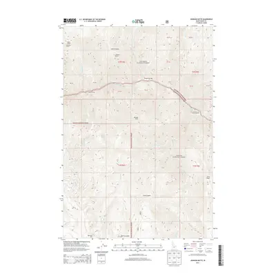
2013 Map of Johnson Butte
USGS Topo · Published 2013About this map
The boundary between Nez Perce National Forest and Payette National Forest bisects this mountainous landscape, defining a wilderness where deep river canyons meet high peaks. The Salmon River corridor is marked by intense whitewater features, including Sheep Creek Rapids, Dried Meat Rapids, and Little Crowlee Rapids, which serve as waypoints for navigation through the canyon floor. High points such as Black Butte, topped with the Black Butte Lookout, and Marshall Mtn provide panoramic vantage points over a network of drainage systems like California Cr and Johnson Cr. This 2013 survey illustrates the sparse human footprint in this part of Idaho County, where access is limited to a few forest roads like NFD 318 RD. The inclusion of California Creek Bar Campground and Sheep Creek Bar highlights the seasonal river-based activity that characterizes this remote terrain.
Find a feature on this map
36 named features on this map. Tap any name to fly to it.
Don’t see what you’re looking for? This feature index may not catch every label — zoom into the map to look around manually.
Map Details
Editions of this 2013 Johnson Butte Map
This is the sole edition of this map. No revisions or reprints were ever made.
Other maps of this area

1931 · Buffalo Hump
USGS Topo · 1:125,000

1934 · Buffalo Hump
USGS Topo · 1:125,000

1956 · Burgdorf
USGS Topo · 1:62,500

1956 · Warren
USGS Topo · 1:62,500

1956 · Elk City
USGS Topo · 1:250,000

1960 · Elk City
USGS Topo · 1:250,000

1963 · Hanover Mtn.
USGS Topo · 1:24,000

1963 · Marble Butte
USGS Topo · 1:24,000

1979 · Buffalo Hump
USGS Topo · 1:24,000

1981 · Warren
USGS Topo · 1:100,000