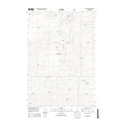
2013 Map of Buffalo Hump
USGS Topo · Published 2013About this map
Buffalo Hump and the surrounding high country of the Nez Perce National Forest dominate this Idaho County landscape, where early 21st-century topography reveals a legacy of high-altitude industry and seasonal habitations. The map documents scattered settlements like Humptown, Frogtown, Concord, and Jumbo Camp, which evolved in the shadow of peaks like Mineral Hill and Concord Hill. The presence of the Atlas Mill near Atlas Mill highlights the area's mining history, while the proximity of these camps to remote water sources like Mirror Lake, Hump Lake, and Crescent Lake suggests the difficult conditions faced by those working these claims.
Find a feature on this map
56 named features on this map. Tap any name to fly to it.
Don’t see what you’re looking for? This feature index may not catch every label — zoom into the map to look around manually.
Map Details
Editions of this 2013 Buffalo Hump Map
This is the sole edition of this map. No revisions or reprints were ever made.
Other maps of this area

1931 · Buffalo Hump
USGS Topo · 1:125,000

1934 · Buffalo Hump
USGS Topo · 1:125,000

1956 · Burgdorf
USGS Topo · 1:62,500

1956 · Warren
USGS Topo · 1:62,500

1956 · Elk City
USGS Topo · 1:250,000

1960 · Elk City
USGS Topo · 1:250,000

1963 · Sourdough Peak
USGS Topo · 1:24,000

1963 · Marble Butte
USGS Topo · 1:24,000

1977 · Silver Spur Ridge
USGS Topo · 1:24,000

1979 · Buffalo Hump
USGS Topo · 1:24,000