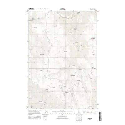
2013 Map of Joseph
USGS Topo · Published 2013About this map
Joseph and the Joseph Plains area of Idaho County are defined by a complex network of high ridges and deep canyons leading toward the Salmon River drainage. This landscape is characterized by prominent flat-topped features like Kidder Flat, Shillam Flat, and Doumecq Plains, which provide rare level ground above the steep descents of Rice Cr and Brust Cr. These upland areas likely served as vital grazing or homesteading sites in this high-country environment.
Find a feature on this map
64 named features on this map. Tap any name to fly to it.
Don’t see what you’re looking for? This feature index may not catch every label — zoom into the map to look around manually.
Map Details
Editions of this 2013 Joseph Map
This is the sole edition of this map. No revisions or reprints were ever made.
Other maps of this area

1954 · Kernan Point
USGS Topo · 1:62,500

1955 · Grangeville
USGS Topo · 1:250,000

1959 · Grangeville
USGS Topo · 1:250,000

1963 · Slate Creek
USGS Topo · 1:24,000

1963 · Boles
USGS Topo · 1:24,000

1963 · Moughmer Point
USGS Topo · 1:24,000

1963 · Joseph
USGS Topo · 1:24,000

1963 · Grave Point
USGS Topo · 1:24,000

1963 · White Bird
USGS Topo · 1:24,000

1963 · Wolf Creek
USGS Topo · 1:24,000