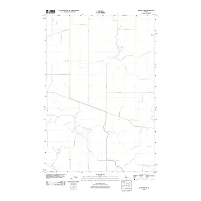
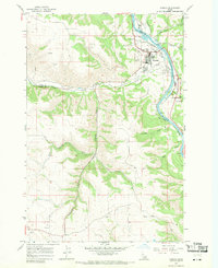
2010 Map of Nezperce SW
USGS Topo · Published 2010About this map
The agricultural plateaus and rugged drainages of Idaho County define this landscape, where the Idaho Panhandle's rural infrastructure is recorded in detail. Centrally located, the Denver Cemetery serves as a significant genealogical landmark, accessible via Denver Cemetery Rd and McDonald Rd. The terrain is marked by prominent elevations such as Red Rock Butte and the nearby Twin Buttes, providing natural vantage points over the surrounding creek systems.
Find a feature on this map
31 named features on this map. Tap any name to fly to it.
Don’t see what you’re looking for? This feature index may not catch every label — zoom into the map to look around manually.
Map Details
Editions of this 2010 Nezperce SW Map
This is the sole edition of this map. No revisions or reprints were ever made.
Other maps of this area

1924 · Kamiah
USGS Topo · 1:125,000

1955 · Pullman
USGS Topo · 1:250,000

1955 · Grangeville
USGS Topo · 1:250,000

1958 · Pullman
USGS Topo · 1:250,000

1959 · Grangeville
USGS Topo · 1:250,000

1963 · Grangeville West
USGS Topo · 1:24,000
1963 · Grangeville East
USGS Topo · 1:24,000
1963 · Fenn
USGS Topo · 1:24,000
1967 · Nezperce SE
USGS Topo · 1:24,000
1967 · Kamiah
USGS Topo · 1:24,000