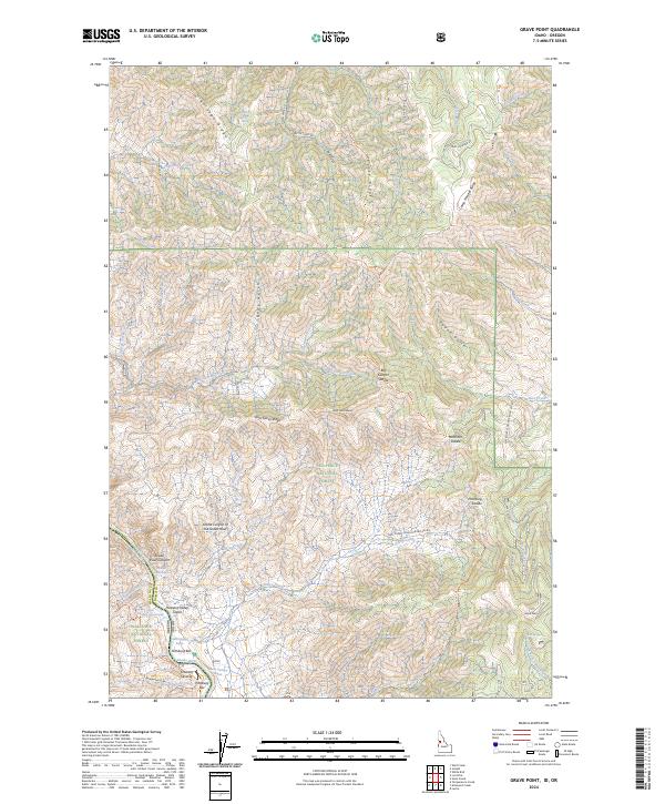
2024 Map of Grave Point
USGS Topo · Published 2024About this map
Pittsburg Landing serves as a critical access point along the Snake River within the Grand Canyon of the Snake River, where the terrain drops sharply from the heights of Grave Point and Highrange Ridge. This 2024 landscape is defined by the steep drainage systems of Big Canyon Creek and Kurry Creek, cutting through the western edge of the Nez-Perce National Forest. The map illustrates the complex borderlands of the Snake Wild and Scenic River, where Idaho and Oregon meet amidst the deep fractures of the Snake River Canyon.
Find a feature on this map
63 named features on this map. Tap any name to fly to it.
Don’t see what you’re looking for? This feature index may not catch every label — zoom into the map to look around manually.
Map Details
Editions of this 2024 Grave Point Map
This is the sole edition of this map. No revisions or reprints were ever made.
Other maps of this area

1954 · Kernan Point
USGS Topo · 1:62,500

1955 · Grangeville
USGS Topo · 1:250,000

1959 · Grangeville
USGS Topo · 1:250,000

1963 · Lucile
USGS Topo · 1:24,000

1963 · Slate Creek
USGS Topo · 1:24,000

1963 · Kirkwood Creek
USGS Topo · 1:24,000

1963 · Joseph
USGS Topo · 1:24,000

1963 · Grave Point
USGS Topo · 1:24,000

1963 · White Bird
USGS Topo · 1:24,000

1963 · Wolf Creek
USGS Topo · 1:24,000