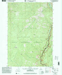
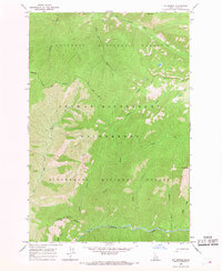
1998 Map of Spot Mountain
USGS Topo · Published 2002About this map
The Selway-Bitterroot Wilderness defines this landscape, where the confluence of the Selway River and the Middle Fork Clearwater River creates a corridor of critical water drainage through Idaho County. The map details a high-elevation interior dominated by prominent peaks including Spot Mountain, Pyramid Mountain, and Nick Wynn Mountain. This 1990s-era revision illustrates the intersection of primitive transport routes and modern forest management, showing the Old Nez Perce Trail following the southern ridges while the Selway River Road provides access along the valley floor. The drainage patterns of Crooked Creek and Raven Creek reveal a deeply dissected terrain within the Bitterroot National Forest, providing a snapshot of the region's geography before significant 21st-century environmental shifts.
Find a feature on this map
27 named features on this map. Tap any name to fly to it.
Don’t see what you’re looking for? This feature index may not catch every label — zoom into the map to look around manually.
Map Details
Editions of this 1998 Spot Mountain Map
This is the sole edition of this map. No revisions or reprints were ever made.
Other maps of this area

1956 · Elk City
USGS Topo · 1:250,000

1960 · Elk City
USGS Topo · 1:250,000

1962 · Beaver Jack Mtn
USGS Topo · 1:24,000

1966 · Spot Mountain
USGS Topo · 1:24,000

1966 · Three Prong Mountain
USGS Topo · 1:24,000
1966 · Wylies Peak
USGS Topo · 1:24,000
1966 · Burnt Strip Mtn
USGS Topo · 1:24,000
1966 · Gardiner Peak
USGS Topo · 1:24,000
1966 · Mt George
USGS Topo · 1:24,000

1978 · Magruder Mtn
USGS Topo · 1:24,000