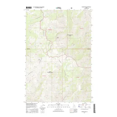
2017 Map of Papoose Peak
USGS Topo · Published 2017About this map
Salmon National Forest and Payette National Forest meet in this high-elevation Idaho landscape, divided by the border of Idaho and Valley Counties. The topography is defined by significant landmarks like Papoose Peak and the prominent Cottonwood Butte, which serve as anchors for a complex drainage system. High mountain water sources such as Coyote Spring and Papoose Lake feed into numerous named watercourses, including Trapper Cr and Golden Cr. The presence of the Goat Creek (Wilderness) area underscores the protected and undisturbed nature of this region. Mapping labels such as Big Hill and Black Butte provide specific navigation points for those studying the physical geography of the Salmon River Mountains. This survey documents the intersection of public forest lands and seasonal creek networks as they existed in the early 21st century.
Find a feature on this map
37 named features on this map. Tap any name to fly to it.
Don’t see what you’re looking for? This feature index may not catch every label — zoom into the map to look around manually.
Map Details
Editions of this 2017 Papoose Peak Map
This is the sole edition of this map. No revisions or reprints were ever made.
Other maps of this area

1956 · Elk City
USGS Topo · 1:250,000

1960 · Elk City
USGS Topo · 1:250,000

1962 · Mormon Mtn
USGS Topo · 1:24,000

1962 · Vinegar Hill
USGS Topo · 1:24,000

1962 · Puddin Mtn
USGS Topo · 1:24,000

1962 · Papoose Peak
USGS Topo · 1:24,000

1962 · Aggipah Mtn
USGS Topo · 1:24,000

1962 · Dave Lewis Peak
USGS Topo · 1:24,000

1962 · Butts Creek Point
USGS Topo · 1:24,000

1977 · Cottonwood Butte
USGS Topo · 1:24,000