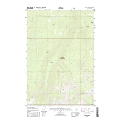
2017 Map of North Pole
USGS Topo · Published 2017About this map
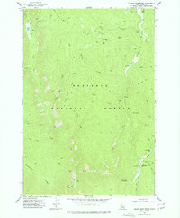
North Pole marks a high point in the central Idaho wilderness within the Nez Perce National Forest. This 2017 survey details a landscape of extreme relief, where ridges such as Tenmile Ridge and Williams Creek Ridge separate deep drainages. The area is dotted with high-elevation water bodies, including Wildhorse Lake, Kelly Lake, and Twentymile Lake, which feed the complex system of mountain creeks. Access is defined by the primitive routes of Sourdough Rd and Buffalo Hump Rd, tracing the high ground above Calendar Canyon. The presence of Tenmile Meadows suggests more open, level ground amidst the steep slopes of Twentymile Butte and Tenmile Hill, providing a clear record of the backcountry topography near the Salmon River region before more recent wildfires or landscape changes occurred.
Find a feature on this map
33 named features on this map. Tap any name to fly to it.
Don’t see what you’re looking for? This feature index may not catch every label — zoom into the map to look around manually.
Map Details
Editions of this 2017 North Pole Map
This is the sole edition of this map. No revisions or reprints were ever made.
Other maps of this area
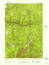
1931 · Buffalo Hump
USGS Topo · 1:125,000
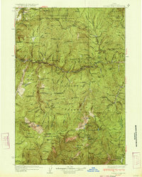
1934 · Buffalo Hump
USGS Topo · 1:125,000

1956 · Elk City
USGS Topo · 1:250,000

1960 · Elk City
USGS Topo · 1:250,000
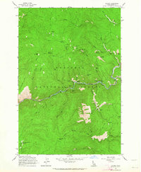
1962 · Golden
USGS Topo · 1:24,000
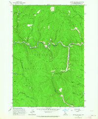
1962 · Center Star Mtn
USGS Topo · 1:24,000
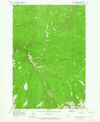
1963 · Sourdough Peak
USGS Topo · 1:24,000
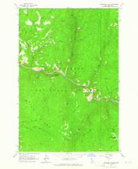
1963 · Huddleson Bluff
USGS Topo · 1:24,000
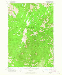
1963 · Marble Butte
USGS Topo · 1:24,000
1977 · Silver Spur Ridge
USGS Topo · 1:24,000