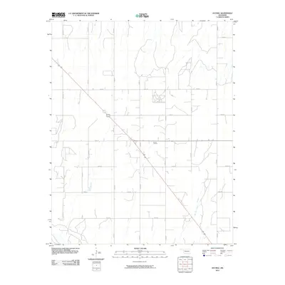
2010 Map of Hucmac
USGS Topo · Published 2010About this map
Munice Cemetery serves as a central landmark in this portion of Dewey County, situated near the intersection of N2350 Rd and E 0660 Rd. The landscape is defined by a grid-like network of rural roads that facilitate transit through the open country of western Oklahoma. In the southeast, Little Robe Creek meanders across the terrain, representing one of the few natural drainage features in an area otherwise characterized by agricultural land divisions and long-distance thoroughfares. This 2010 USGS study captures the rural infrastructure and land management patterns of the early 21st century, providing a clear record of the section lines and local routes such as N2380 Rd and E 0620 Rd that organize this prairie landscape.
Find a feature on this map
16 named features on this map. Tap any name to fly to it.
Don’t see what you’re looking for? This feature index may not catch every label — zoom into the map to look around manually.
Map Details
Editions of this 2010 Hucmac Map
This is the sole edition of this map. No revisions or reprints were ever made.
Other maps of this area

1955 · Clinton
USGS Topo · 1:250,000

1955 · Woodward
USGS Topo · 1:250,000

1957 · Clinton
USGS Topo · 1:250,000

1958 · Woodward
USGS Topo · 1:250,000

1962 · Putnam
USGS Topo · 1:62,500

1964 · Oakwood
USGS Topo · 1:62,500

1972 · Canton NW
USGS Topo · 1:24,000

1972 · Hucmac
USGS Topo · 1:24,000

1972 · Canton SW
USGS Topo · 1:24,000

1972 · Seiling
USGS Topo · 1:24,000