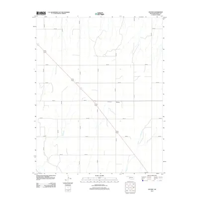
2012 Map of Hucmac
USGS Topo · Published 2012About this map
Hucmac sits at a highway junction in Oklahoma's Dewey County, surrounded by a precise grid of rural roads that divide the western plains. This agricultural landscape is defined by its sectional organization, with routes like N2340 Rd and E0660 Rd providing the primary structure for movement between farmsteads. The drainage of Little Robe Cr cuts through the southeastern corner of the quadrangle, introducing topographic variation to the otherwise orderly terrain. For those researching local burial sites and family histories in this part of Oklahoma, the Munice Cem is a prominent landmark located just west of the Hucmac settlement, serving as a quiet focal point for the surrounding rural community. The map illustrates the persistent pattern of Oklahoma's rural settlement, where small crossroads and communal sites maintain their significance amidst the vastness of the plains.
Find a feature on this map
18 named features on this map. Tap any name to fly to it.
Don’t see what you’re looking for? This feature index may not catch every label — zoom into the map to look around manually.
Map Details
Editions of this 2012 Hucmac Map
This is the sole edition of this map. No revisions or reprints were ever made.
Other maps of this area

1955 · Clinton
USGS Topo · 1:250,000

1955 · Woodward
USGS Topo · 1:250,000

1957 · Clinton
USGS Topo · 1:250,000

1958 · Woodward
USGS Topo · 1:250,000

1962 · Putnam
USGS Topo · 1:62,500

1964 · Oakwood
USGS Topo · 1:62,500

1972 · Canton NW
USGS Topo · 1:24,000

1972 · Hucmac
USGS Topo · 1:24,000

1972 · Canton SW
USGS Topo · 1:24,000

1972 · Seiling
USGS Topo · 1:24,000