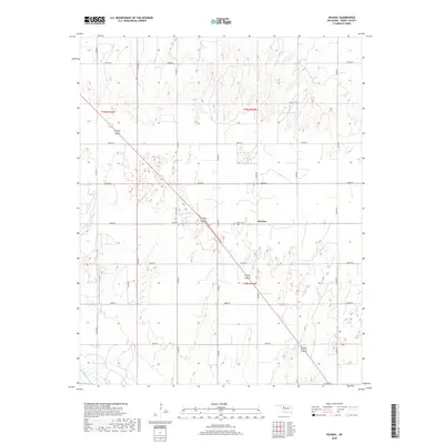
2018 Map of Hucmac
USGS Topo · Published 2018About this map
Hucmac sits at the center of this rural Oklahoma landscape, where the flat upland plains are dissected by the winding drainage of Little Robe Creek. This corner of Dewey County shows a strict section-line road grid, including E0660 Road and N2350 Road, which defines the agricultural movement through the territory. The Munice Cemetery provides a specific point of interest for genealogists tracing early families in this prairie region. To the southwest, the wide valley of the Canadian River cuts across the corner of the map, influencing the local topography as the land drops from the high plains toward the riverbed. The survey illustrates the intersection of modern infrastructure and the enduring natural watercourses that have shaped the settlement of the southern plains.
Find a feature on this map
22 named features on this map. Tap any name to fly to it.
Don’t see what you’re looking for? This feature index may not catch every label — zoom into the map to look around manually.
Map Details
Editions of this 2018 Hucmac Map
This is the sole edition of this map. No revisions or reprints were ever made.
Other maps of this area

1955 · Clinton
USGS Topo · 1:250,000

1955 · Woodward
USGS Topo · 1:250,000

1957 · Clinton
USGS Topo · 1:250,000

1958 · Woodward
USGS Topo · 1:250,000

1962 · Putnam
USGS Topo · 1:62,500

1964 · Oakwood
USGS Topo · 1:62,500

1972 · Canton NW
USGS Topo · 1:24,000

1972 · Hucmac
USGS Topo · 1:24,000

1972 · Canton SW
USGS Topo · 1:24,000

1972 · Seiling
USGS Topo · 1:24,000