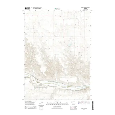
2014 Map of Huddle Table
USGS Topo · Published 2014About this map
The Niobrara National Scenic River carves a deep path along the border of Keya Paha and Brown counties, defining the southern portion of this landscape. The river's braided course is punctuated by landmarks such as Cedar Island and Hartman Island, while the surrounding terrain is marked by sharp elevation changes leading up to the flat-topped Huddle Table. This area is characterized by a network of drainage creeks including Chimney Cr, Turkey Cr, and Garden Cr that feed into the main river valley.
Find a feature on this map
19 named features on this map. Tap any name to fly to it.
Don’t see what you’re looking for? This feature index may not catch every label — zoom into the map to look around manually.
Map Details
Editions of this 2014 Huddle Table Map
This is the sole edition of this map. No revisions or reprints were ever made.
Other maps of this area

1949 · Dutch Creek
USGS Topo · 1:24,000

1950 · Norden
USGS Topo · 1:62,500

1950 · Meadville
USGS Topo · 1:24,000

1950 · Huddle Table
USGS Topo · 1:24,000

1950 · Dutch Creek
USGS Topo · 1:24,000

1950 · Wood Lake
USGS Topo · 1:62,500

1952 · Norden
USGS Topo · 1:62,500

1954 · Ainsworth NW
USGS Topo · 1:24,000

1955 · O'Neill
USGS Topo · 1:250,000

1957 · Valentine
USGS Topo · 1:250,000