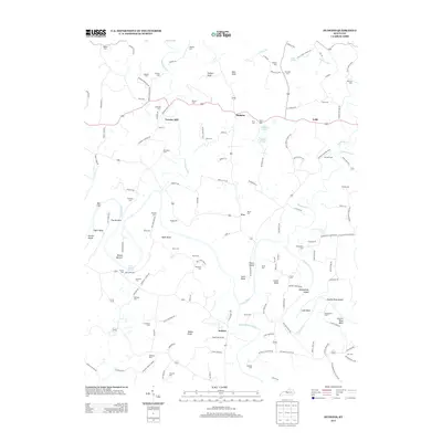
2013 Map of Hudgins
USGS Topo · Published 2013About this map
The Green River carves a winding path through this central Kentucky landscape, defining a series of dramatic bends and river islands including Vance Island, Sidebottom Island, and Charlie Rhea Island. These hydrological features dictate the local geography, creating isolated pockets of land like Lobb Bend and Scott Bend. The area is characterized by a dense network of family-named cemeteries such as Sidebottom Cem, Montgomery Cem, and Conyers Cem, which serve as vital markers for genealogical research in small settlements like Hudgins, Lobb, and Powder Mill.
Find a feature on this map
141 named features on this map. Tap any name to fly to it.
Don’t see what you’re looking for? This feature index may not catch every label — zoom into the map to look around manually.
Map Details
Editions of this 2013 Hudgins Map
This is the sole edition of this map. No revisions or reprints were ever made.
Other maps of this area

1934 · Munfordville
USGS Topo · 1:48,000

1935 · Horse Cave
USGS Topo · 1:48,000

1937 · Munfordville
USGS Topo · 1:62,500

1938 · Horse Cave
USGS Topo · 1:62,500

1953 · Hudgins
USGS Topo · 1:24,000

1953 · Hibernia
USGS Topo · 1:24,000

1953 · Summersville
USGS Topo · 1:24,000

1953 · Exie
USGS Topo · 1:24,000

1953 · Magnolia
USGS Topo · 1:24,000

1953 · Center
USGS Topo · 1:24,000