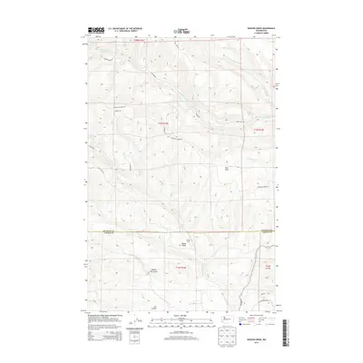
2013 Map of Hudson Creek
USGS Topo · Published 2013About this map
Manastash Ridge dominates this portion of the Washington landscape, serving as a significant geographical divide where Kittitas and Yakima counties meet. The area is defined by a network of drainage systems including S Fork Manastash Cr and the N Fork Wenas Cr, which carve through the high terrain to reach the Wenas Valley below. This survey captures the land as a patchwork of public and managed territory, accessed by primitive routes such as Hog Ranch Rd and Manastash Ridge Rd. Localized landmarks like Wenas Camp and the curiously named Dipping Vat Canyon suggest a history of seasonal use and livestock management in the hills. The presence of the Mud Flats and canyons like Cow Canyon further illustrate the varied topography of this transitional zone between the high ridges and the valley floor.
Find a feature on this map
28 named features on this map. Tap any name to fly to it.
Don’t see what you’re looking for? This feature index may not catch every label — zoom into the map to look around manually.
Map Details
Editions of this 2013 Hudson Creek Map
This is the sole edition of this map. No revisions or reprints were ever made.
Other maps of this area

1897 · Mount Stuart
USGS Topo · 1:125,000

1899 · Ellensburg
USGS Topo · 1:125,000

1901 · Ellensburg
USGS Topo · 1:125,000

1902 · Mount Stuart
USGS Topo · 1:125,000

1950 · Yakima
USGS Topo · 1:250,000

1957 · Wenatchee
USGS Topo · 1:250,000

1958 · Thorp
USGS Topo · 1:24,000

1958 · Ellensburg
USGS Topo · 1:62,500

1958 · Thorp
USGS Topo · 1:62,500

1958 · Cle Elum
USGS Topo · 1:62,500