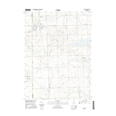
2017 Map of Hudson
USGS Topo · Published 2017About this map
Hudson serves as the primary urban center for this area along the Hillsdale and Lenawee County line, characterized by a grid of residential streets and religious landmarks like the Old Sacred Heart Church Cem. The surrounding landscape is defined by the winding course of Bean Creek and a network of agricultural drainage systems including the Henning Drain and Garrison Drain. Small, concentrated settlements such as Medina and Lime Creek are scattered south of the main city, each retaining its own local identity through sites like the Medina Cemetery and Lime Creek Cemetery.
Find a feature on this map
91 named features on this map. Tap any name to fly to it.
Don’t see what you’re looking for? This feature index may not catch every label — zoom into the map to look around manually.
Map Details
Editions of this 2017 Hudson Map
This is the sole edition of this map. No revisions or reprints were ever made.
Other maps of this area

1911 · Wauseon
USGS Topo · 1:62,500

1913 · Wauseon
USGS Topo · 1:62,500

1913 · Alvordton
USGS Topo · 1:62,500

1943 · Wauseon
USGS Topo · 1:62,500

1944 · Alvordton
USGS Topo · 1:62,500

1953 · Fort Wayne
USGS Topo · 1:250,000

1956 · Fort Wayne
USGS Topo · 1:250,000

1960 · Morenci
USGS Topo · 1:24,000

1960 · Fayette
USGS Topo · 1:24,000
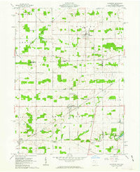
1961 · Alvordton
USGS Topo · 1:24,000