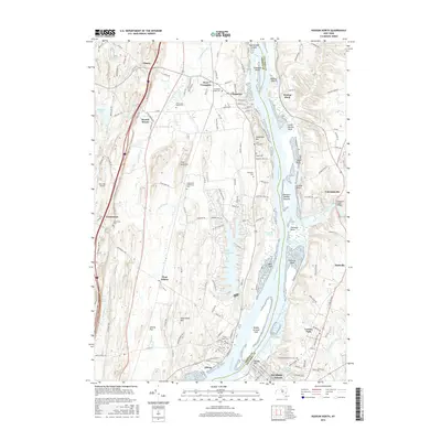
2016 Map of Hudson North
USGS Topo · Published 2016About this map
The Hudson River carves a deep path through the eastern New York landscape, defining the character of riverfront settlements like Coxsackie and Athens. The western shore is rich with ancestral sites, from the colonial-era Bronck House to numerous family and community burial grounds, including the Coxsackie Village Cem and the Armstrong-Mead Cem. Inland, the terrain rises toward Flint Mine Hill and Lampman Hill, where the geography transitions from the river's marshes at Vosburgh Swamp to more elevated rural tracts.
Find a feature on this map
153 named features on this map. Tap any name to fly to it.
Don’t see what you’re looking for? This feature index may not catch every label — zoom into the map to look around manually.
Map Details
Editions of this 2016 Hudson North Map
This is the sole edition of this map. No revisions or reprints were ever made.
Other maps of this area

1893 · Coxsackie
USGS Topo · 1:62,500

1894 · Coxsackie
USGS Topo · 1:62,500

1895 · Catskill
USGS Topo · 1:62,500

1902 · Copake
USGS Topo · 1:62,500

1903 · Kinderhook
USGS Topo · 1:62,500

1904 · Copake
USGS Topo · 1:62,500

1929 · Coxsackie
USGS Topo · 1:62,500

1933 · Kinderhook
USGS Topo · 1:62,500

1934 · Catskill
USGS Topo · 1:62,500

1938 · Catskill
USGS Topo · 1:62,500