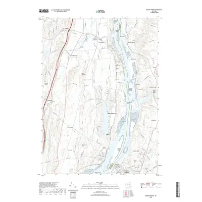
2019 Map of Hudson North
USGS Topo · Published 2019About this map
Bronck House stands as a landmark of the early Dutch architectural heritage in the Hudson Valley, situated west of the river near West Coxsackie. This reach of the Hudson River is defined by a series of significant river features, including the Middle Ground Flats, Stockport Middle Ground, and the marshy expanses of Vosburgh Swamp. The landscape transitions from the riverbanks through fertile grounds like Athens Flat to the higher elevations of Flint Mine Hill and Lampman Hill.
Find a feature on this map
166 named features on this map. Tap any name to fly to it.
Don’t see what you’re looking for? This feature index may not catch every label — zoom into the map to look around manually.
Map Details
Editions of this 2019 Hudson North Map
This is the sole edition of this map. No revisions or reprints were ever made.
Other maps of this area

1893 · Coxsackie
USGS Topo · 1:62,500

1894 · Coxsackie
USGS Topo · 1:62,500

1895 · Catskill
USGS Topo · 1:62,500

1902 · Copake
USGS Topo · 1:62,500

1903 · Kinderhook
USGS Topo · 1:62,500

1904 · Copake
USGS Topo · 1:62,500

1929 · Coxsackie
USGS Topo · 1:62,500

1933 · Kinderhook
USGS Topo · 1:62,500

1934 · Catskill
USGS Topo · 1:62,500

1938 · Catskill
USGS Topo · 1:62,500