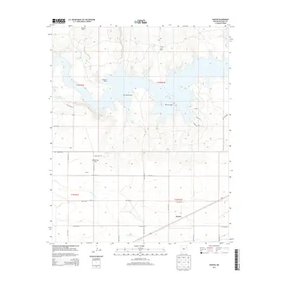
2013 Map of Hudson
USGS Topo · Published 2013About this map
Ute Reservoir dominates the northern landscape of this Quay County region, where the irregular shoreline of the Canadian River drainage forms intricate inlets around Watson Island. The settlement pattern reflects the ranching and irrigation history of eastern New Mexico, anchored by the community of Hudson in the southeast. Water management is central to the area's development, evidenced by the Hudson Lateral canal and numerous local catchments like Ochenta Tank and Willow Tank.
Find a feature on this map
40 named features on this map. Tap any name to fly to it.
Don’t see what you’re looking for? This feature index may not catch every label — zoom into the map to look around manually.
Map Details
Editions of this 2013 Hudson Map
This is the sole edition of this map. No revisions or reprints were ever made.
Other maps of this area

1930 · Tucumcari
USGS Topo · 1:125,000

1954 · Tucumcari
USGS Topo · 1:250,000

1958 · Tucumcari
USGS Topo · 1:250,000

1962 · Logan
USGS Topo · 1:62,500

1967 · Tucumcari
USGS Topo · 1:24,000

1968 · Bascom Camp
USGS Topo · 1:24,000

1968 · Hampton Ranch
USGS Topo · 1:24,000

1968 · Hudson
USGS Topo · 1:24,000

1968 · San Jon NW
USGS Topo · 1:24,000

1968 · Lesbia
USGS Topo · 1:24,000